Al is ever looking for 'new water', so when planning our route from Viner Sound to Port McNeil, he was scouting for places we hadn't been to yet. The weather was to be calm, so most anyplace should be fine.
We traveled the narrow passages between Baker Island and Davies and Insect Islands to the 'crossroads' or 'four corners' area, as Al called it. Just west of there is Sunday Harbour, the anchorage that M. Wylie Blanchet writes of being blown out of in 'The Curve of Time'. And we dropped our anchor.
And though our weather was vastly improved from what she and her family experienced, we WERE there at low tide and then felt the ocean swells as the tide rolled in.
We didn't find the shoreline particularly interesting though, and we had excellent internet there, so you can guess where our attention was. The next morning. at LOW, low tide, I notices several areas of whiteness beneath the water. I asked Al - what's that? Rocks? How much water do we have?
He stepped out on deck and said WOW, and came in to check the depth sounder. We had 12 feet of water and could see these white growths clearly (I've previously looked them up, but couldn't find what they are at this time).

 |
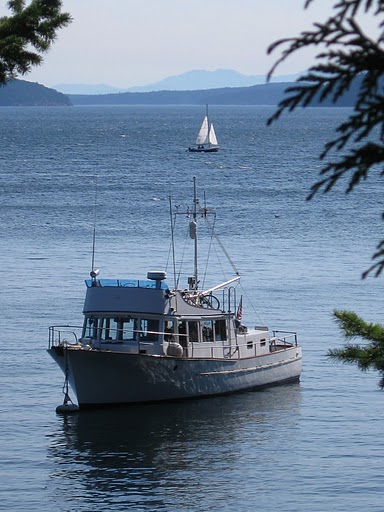
| The view west, toward Foster Island. So smooth and calm. |
 |
| The view south. This is a 'sunny' day in the Broughtons. I DO have my shades on. |
No comments:
Post a Comment
Note: Only a member of this blog may post a comment.